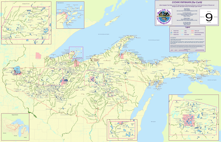
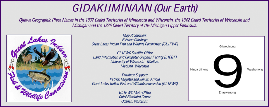
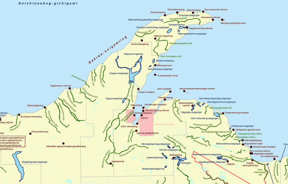
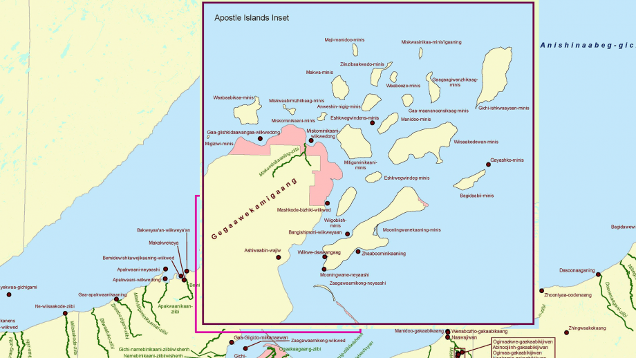
GLIFWC Map of Ojibwe Place Names
Map used here with permission of the
Great Lakes Indian Fish & Wildlife Commission.
The original image is over 40 megapixels (26″x17″); this is a 2/3 reduction. A PDF of the original is here but (because it’s a PDF) it takes a loooong time to load.
Here is a written Place Name reference that covers a larger area than the map: Michigan State University Dept. of Geography
Categories and Tags are clickable…


