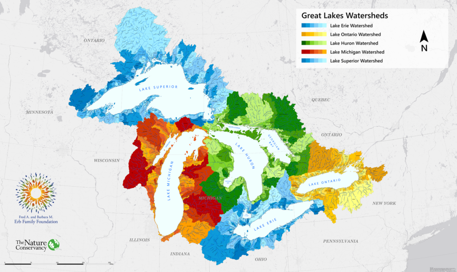
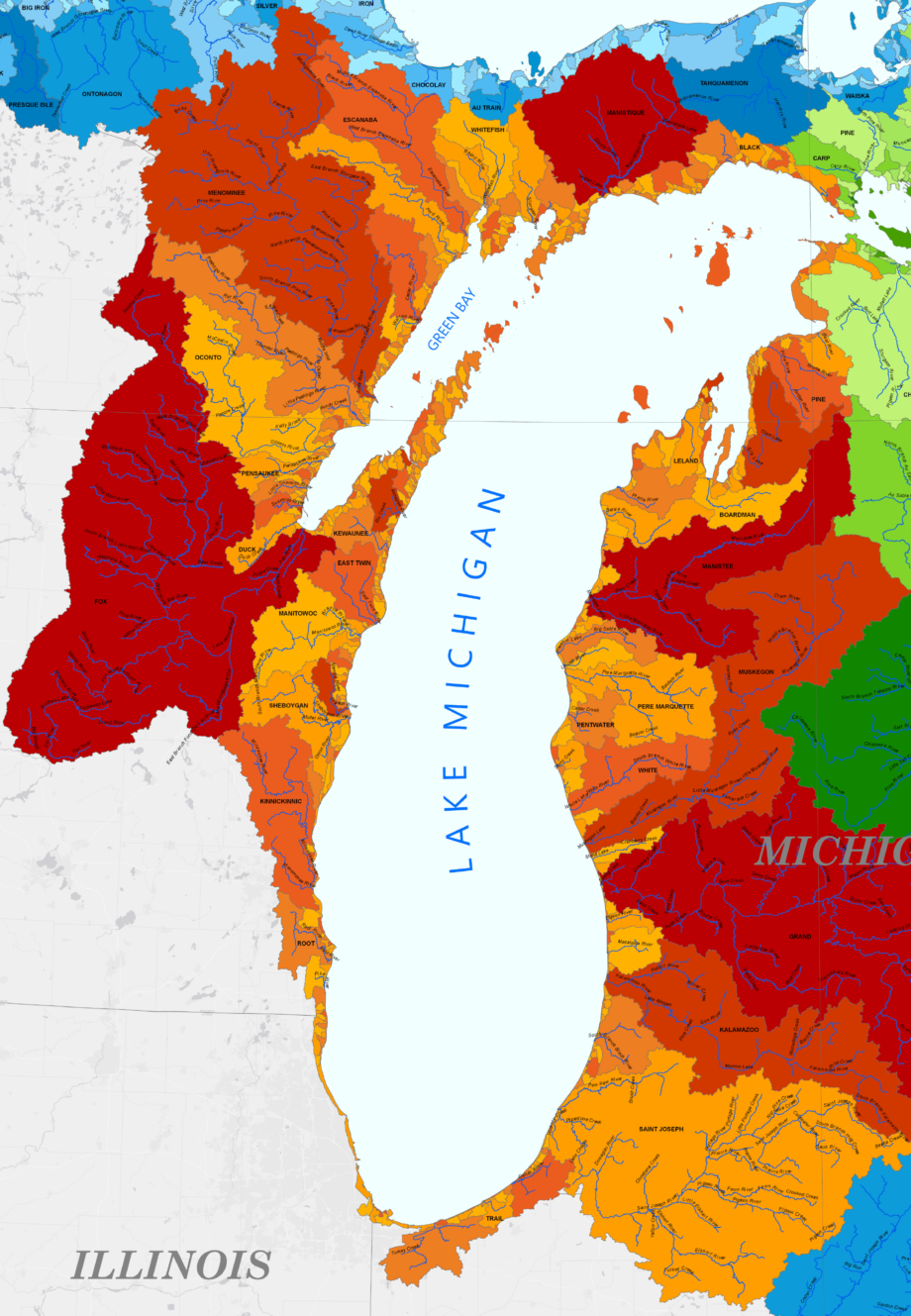
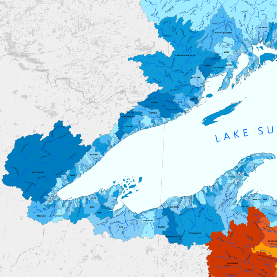
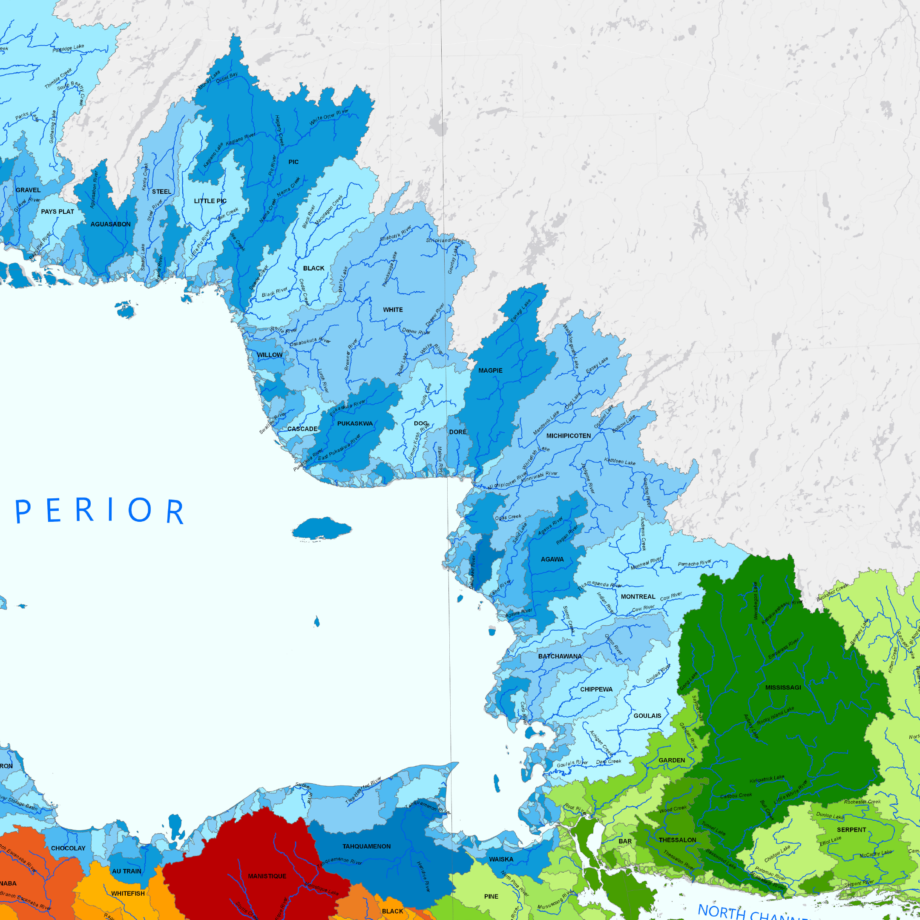
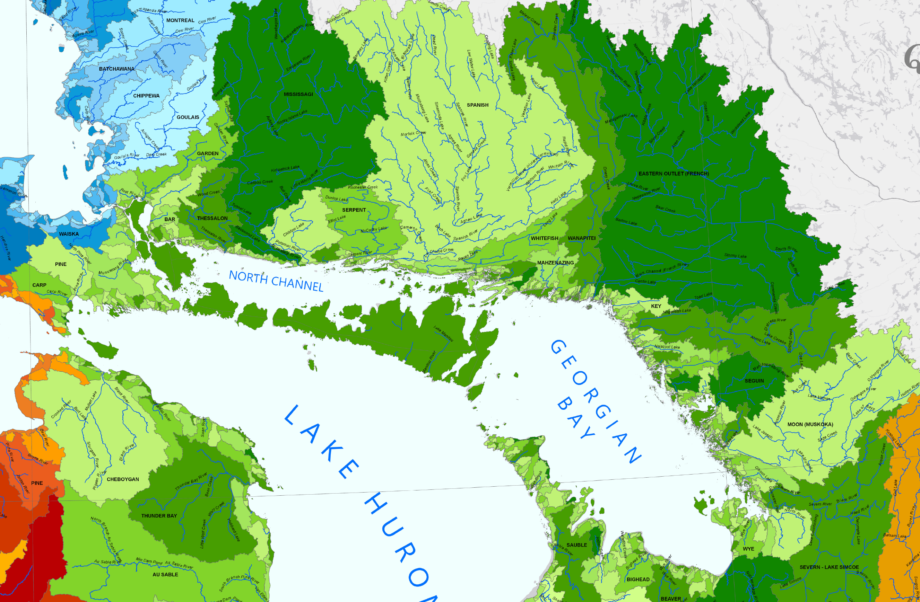
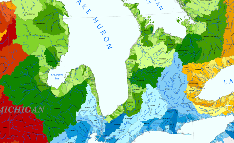
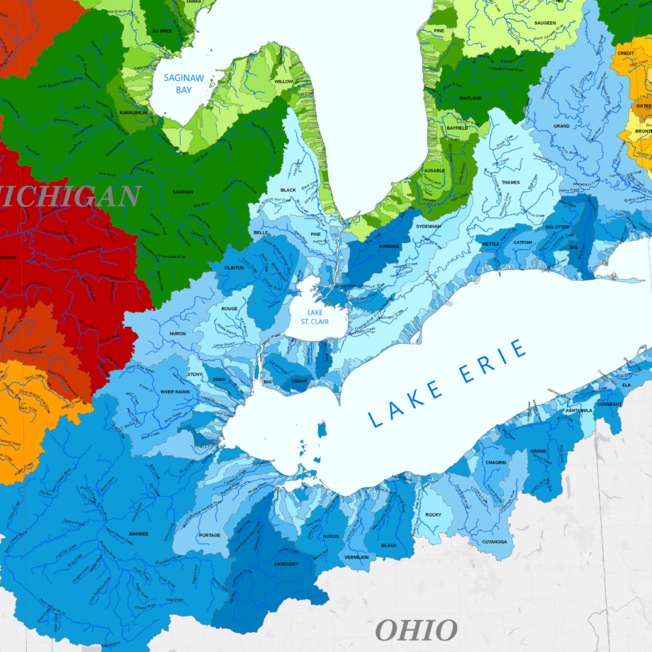
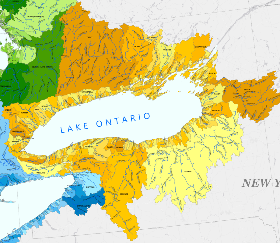
Watershed Map from the Nature Conservancy
FIRST MAP ZOOMS TO 4K
INDIVIDUAL LAKES ZOOM TO 100%
The Great Lakes Basin
Map used here with permission of
The Nature Conservancy.
If printed full size this remarkable map would be about 35″x22″. Free, poster-quality, matte-finish prints are available here.
Categories and Tags are clickable…


