April Ice: South Huron
FIRST IMAGE ZOOMS TO 4K
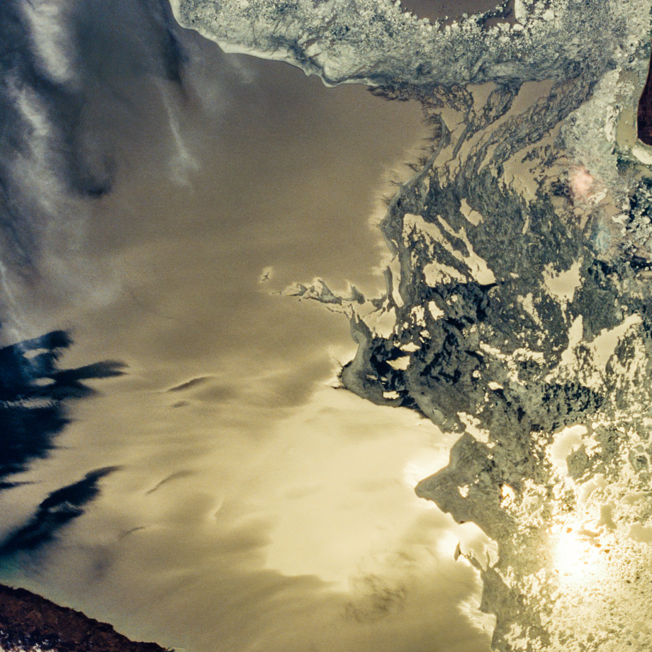
SECOND IMAGE ZOOMS TO 100%
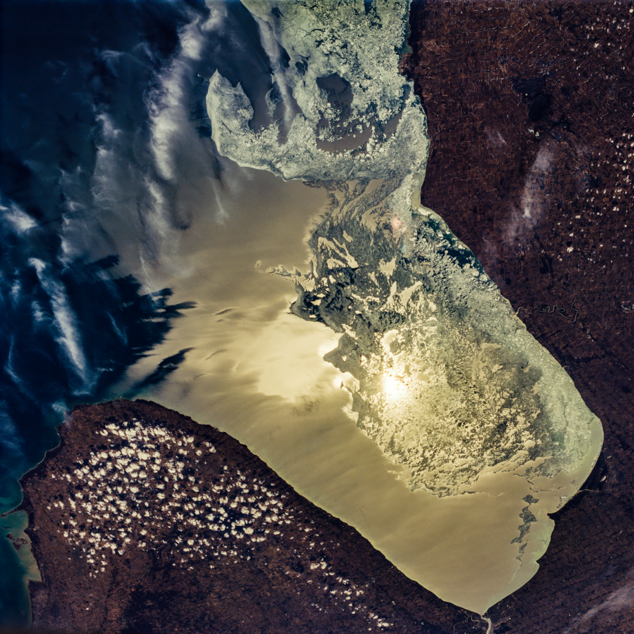
The Southern End of Lake Huron
23 MP (5100×5100) from 70mm Film (1994)
Michigan’s thumb is on the left, Ontario is on the right, and the mouth of the St. Clair River is visible at the bottom of the photo.
This is probably the most dramatic of the April Ice photos. (I say “probably” because half of the three dozen Endeavour photos have never been scanned in high resolution.)
NASA calls this sunglint. In this case, the Sun is nearly overhead and the reflected light is pale yellow.
Categories and Tags are clickable…


