April Ice: Mackinac
FIRST IMAGE ZOOMS TO 4K
SECOND IMAGE ZOOMS TO 100%
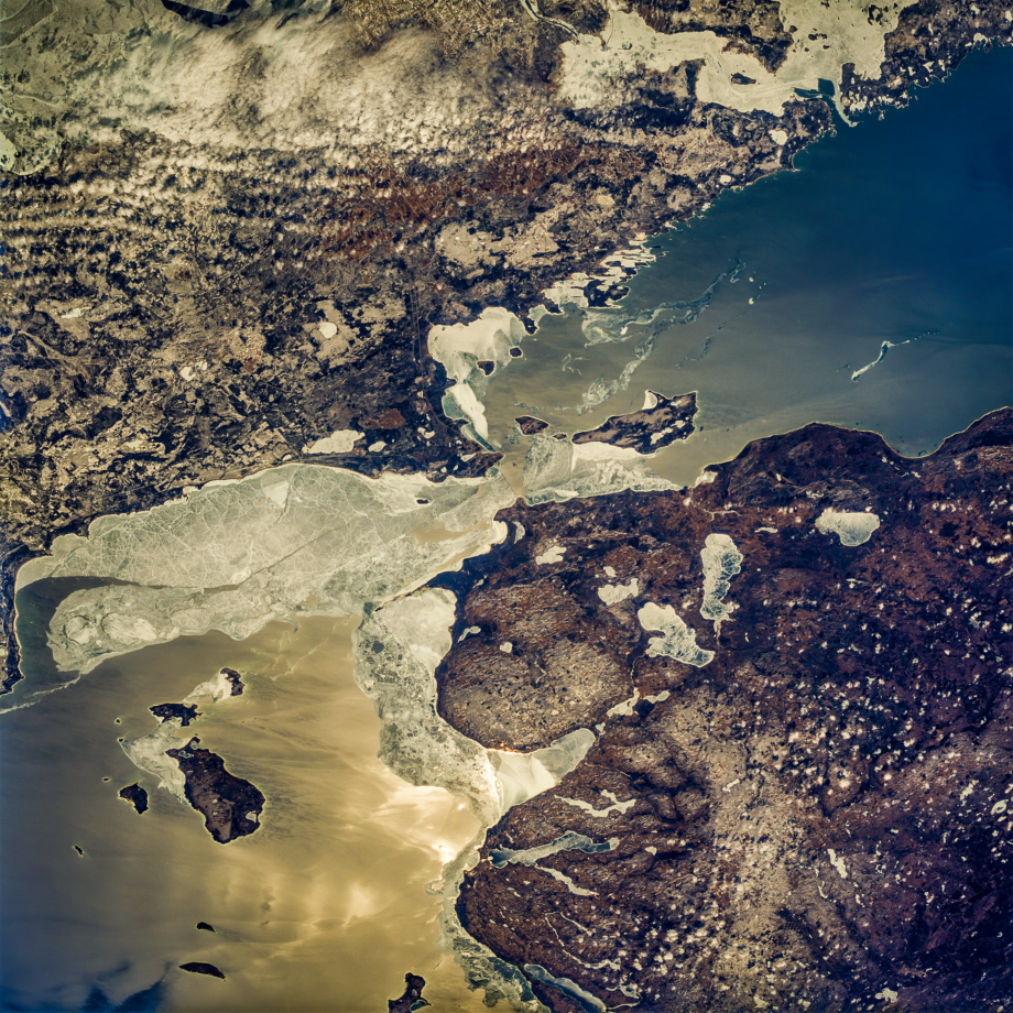
The Straits of Mackinac, Lakes Michigan and Huron
24 MP (5100×5100) from 70mm Film (1994)
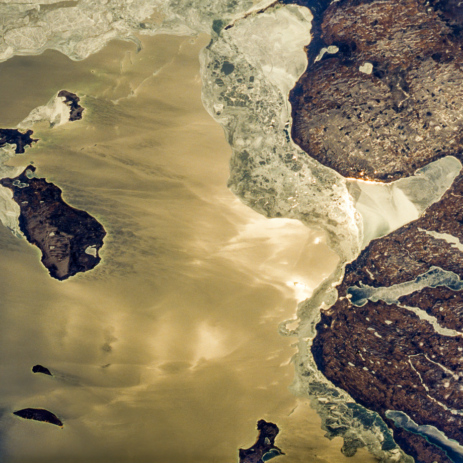
Fresh water floes still block the four mile wide passage between Lakes Michigan and Huron at the end of an ice season that saw both lakes 100% frozen over.
Fresh water flows freely back and forth between the two lakes; it’s not called the Mackinac River. Historically they have two names but hydrologically the two are really one big lake, 40% larger than Superior.
In this photo: Sault Ste. Marie State Forest Area; Wilderness State Park; Fisherman’s Island State Park; Gaylord State Forest Area; Sturgeon Bay; St. Martin Bay; Little Traverse Bay; St. Marys River; Burt Lake; Mullett Lake; Lake Charlevoix; Walloon Lake; Black Lake; Munuscong Lake; Brevoort Lake; Carp Lake; Marquette Island; Mackinac Island; Hog Island; Garden Island; Beaver Island; High Island; St. Joseph Island; Drummond Island; Bois Blanc Island; Leelanau Peninsula (tip)
Categories and Tags are clickable…


