Description
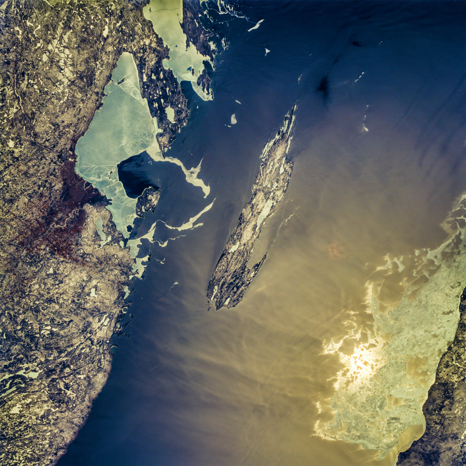
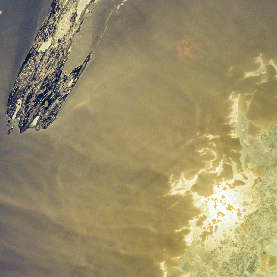
Isle Royale is 9 miles wide and 45 miles long (15×72 km), made mostly of billion-year-old volcanic Greenstone. Wheeled vehicles are not allowed on the island, but there 165 miles of hiking trails, 36 campgrounds, and a few cabins. The rocky archipelago includes 450 much smaller islands; it is the least-visited National Park in the continental USA. Nobody lives there year-around.
Vehicle: Space Shuttle Endeavour, Mission STS-59 (STS059)
Altitude: 137 miles / 254 km (Flight Level 7,231)
Ground Speed: 4.8 miles per second (17,395 mph / 32,216 kph)
Sun Elevation: 48° | Sun Azimuth: 196° | Sun Time: ∼12 PM (est.)
Orbital Inclination: 57°
Camera: Hasselblad 70mm with magazine
Lens: Hasselblad 100mm
Film: Kodak natural color positive, Lumiere 100/5046, ASA 100, standard base


